
![igs-iwd-posts_news-page-banner [image bg] Women's History Month and International Women's Day 2022](https://igs.org/wp-content/uploads/2022/03/igs-iwd-posts_news-page-banner-image-bg.png)
In celebration of Women’s History Month and International Women’s Day 2022, the International GNSS Service (IGS) joined the global community by profiling five women in the IGS community who are making contributions to global geodesy for the greater good.
This year’s International Women’s Day (#IWD) theme is “Gender equality today for a sustainable tomorrow.” The United Nations (UN) has observed International Women’s Day since 1975, with this year’s goal to: “Continuing to examine the opportunities, as well as the constraints, to empower women and girls to have a voice and be equal players in decision-making related to climate change and sustainability is essential for sustainable development and greater gender equality.” (United Nations, 2022) Recently, many countries/regions and organizations have extended IWD celebrations throughout the entire month of March, now known as Women’s History Month (#WHM).
Despite the significant increase in the number of women in Science, Technology, Engineering, and Mathematics (STEM) fields in recent years, men still outnumber women by a large margin. Even in developed countries/regions, like the United States of America, less than one-fifth of women with terminal geoscience degrees work in the geosciences. Moving forward, we thank and celebrate all women in the geodesy community who have embodied the IGS Core Values with their many examples of technical and policy leadership, mentorship, and advocacy for equality, diversity, and inclusion within the IGS.
Meet our featured women for Women’s History Month
Follow
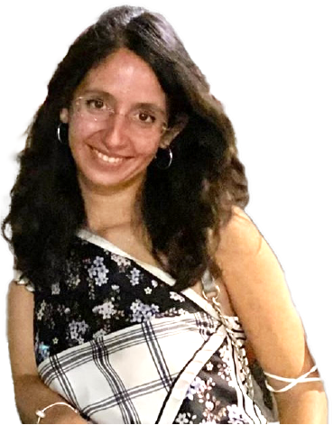
Dr. Michela Ravanelli
CNES Postdoctoral Researcher at Institut de Physique du Globe de Paris (IPGP) (@IPGP_officiel)
Paris, France
“When we think about GNSS, we immediately think about positioning, but GNSS is so much more! For example, GNSS can sense what is happening in the atmosphere and giving us information about tsunamis! Therefore, the huge quantity of IGS GNSS data is really helping us to better understand our Earth!”
Michela Ravanelli got her BSc and MSc degrees in Environmental Engineering from Sapienza University of Rome. In May 2021, she received her PhD in Geomatics from Sapienza University of Rome. During her PhD, she visited NASA Jet Propulsion Laboratory, Institut du Globe de Paris (IPGP)-Université de Paris and Observatoire Volcanologique et Sismologique de la Guadeloupe (IPGP). She is now a CNES post-doc at the Institut de Physique du Globe de Paris (IPGP). Her research topics include GNSS, GNSS ionospheric seismology and GNSS remote sensing. She is co-leader of the sub-group on Ionosphere and TEC of the international scientific committee on “AI for Geodetic Enhancements to Tsunami Monitoring and Detection” within the International Telecommunication Union of United Nations and member of Joint Study Group T.32 (High-rate GNSS for geoscience and mobility) and T.36 (Dense troposphere and ionosphere sounding) of Inter-Commission Committee on Theory of International Association of Geodesy (IAG).
Follow
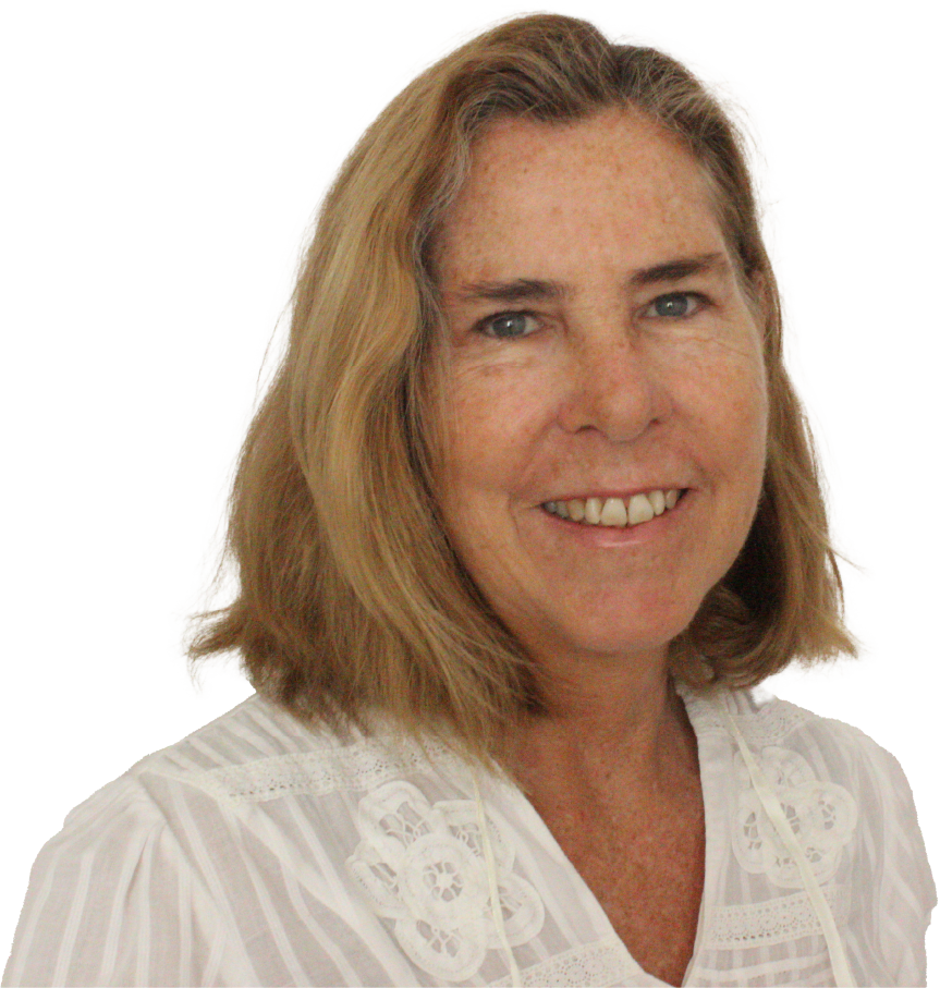
Dr. Sonia Maria Alves Costa
Head of Geodesy, Brazilian Institute of Geography & Statistics (@ibgecomunica)
Chair, Geodetic Reference System for the Americas – SIRGAS (@SirgasAmericas)
Associate Member, International GNSS Service (@igsorg)
Rio de Janeiro, State of Rio de Janeiro, Brazil
“I am fascinated by technology and mainly how GNSS changed our lives and careers over the last 30 years. GNSS brought geodesy towards global sense, and the importance to work under strong collaboration with many countries and institutions across the world, sharing GNSS data for a better understanding of planet interactions and for the benefit of our society. IGS makes it happen!”
Head of Geodesy at the Brazilian Institute of Geography and Statistics, where I have been working during the past thirty five years. Responsible for tools and services of the geocentric reference system in Brazil, including the GNSS Continuous Operating Network, RBMC (Brazilian Continuously Operating Reference Stations). Associate Member at the International GNSS Service, chair of the Geodetic Reference System for the Americas – SIRGAS and member at large of International Association of Geodesy since 2019. Co-chair of the Geodetic Reference Frame for the Americas (GRFA) Working Group of the Regional Committee UN-GGIM:Americas since 2020. In december 2021 was nominated as member of the Position Navigation and Time (PNT) Advisory Board. Sonia holds a BSc in Cartographic Engineering from the University of the State of Rio de Janeiro, an MSc in Geodesy from the Paran· Federal University (UFPR), and a Ph.D. in Geodesy also from UFPR. Mother of two amazing girls, Sofia and Luana.
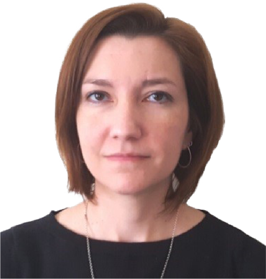
Dr. Sharyl Byram
Chief, GPS Analysis Division, United States Naval Observatory
Chair, IGS Troposphere Working Group
Washington, DC, USA
“The IGS has been instrumental in the global scientific collaboration of GNSS analysis. It has allowed for people of all backgrounds to connect and create new methods of using the GNSS satellites to gain geodetic knowledge.”
Dr. Sharyl Byram is the Chief of the GPS Analysis Division of the Earth Orientation Department at the U.S. Naval Observatory (USNO) in Washington D.C. She is currently the manager of the International GNSS Service (IGS) Analysis Center at the USNO, coordinates the production of the IGS final troposphere products, and is a member of the IGS Governing Board. Additionally, she is involved with the maintenance and improvement of the GPS Analysis Division processing. She holds a B.S. and a M.S. In Aerospace Engineering from the University of Cincinnati and a Ph.D. in Aerospace Engineering from the University of Michigan.
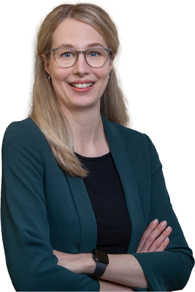
Dr. Susanne Glaser
Research Associate, GFZ German Research Centre for Geosciences
Associate Member, International GNSS Service (@igsorg)
Potsdam, Germany
“I have always been fascinated by geodesy, its techniques and missions to improve the understanding of our planet Earth. I am glad about the inspiring exchange within our community and about the possibility to support young scientists and students.”
Dr. Susanne Glaser has been a Research associate at GFZ German Research Centre for Geosciences, Section 1.1: Space Geodetic Techniques since 2017 and is an IGS Associate Member. In 2021, she became the Head of working group “Combination of space geodetic techniques” at GFZ Potsdam Sec. 1.1. Since 2018 she has been a Guest lecturer at TU Berlin, Chair of Satellite Geodesy (with lectureship since 2020) including supervision of MSc students and co-supervision of PhD students. She received a Diploma in Engineering (Dipl.-Ing.) in Geodesy and a Doctor of Engineering (Dr.-Ing.) in Geodesy at Technische Universität Dresden, Germany. Her research interests include Combination of space geodetic techniques, Terrestrial reference frames, and Simulation studies.
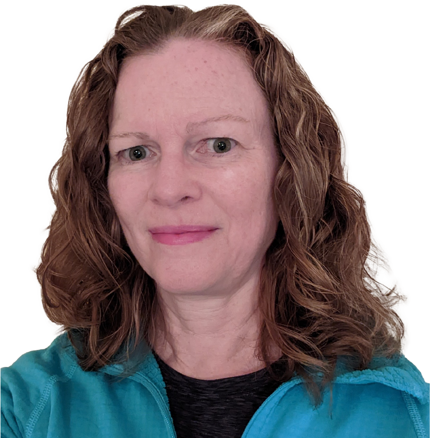
Dr. Angelyn Moore
Scientist, Ionospheric and Atmospheric Remote Sensing group, NASA Jet Propulsion Laboratory
Former Central Bureau Deputy Director and Former Network Coordinator, International GNSS Service (@igsorg)
Pasadena, California, USA
“I don’t think I even knew the word “geodesy” until I was already working in the field. It turned out to be a good fit for a generalist: I have had the good fortune to hold 4 distinct positions in geodetic GNSS, working in hardware, software, international coordination, and science.”
Angelyn Moore is a scientist in the Ionospheric and Atmospheric Remote Sensing group. She completed a Ph.D. in physics at the University of California Riverside, performing the dissertation research in the Time and Frequency Research and Development group at JPL. Angie has spent 25 years in various roles in geodetic GPS, including remote autonomous operation of global sites, coordinating an international federation of geodetic GPS agencies, and GPS data analysis for earth science applications.
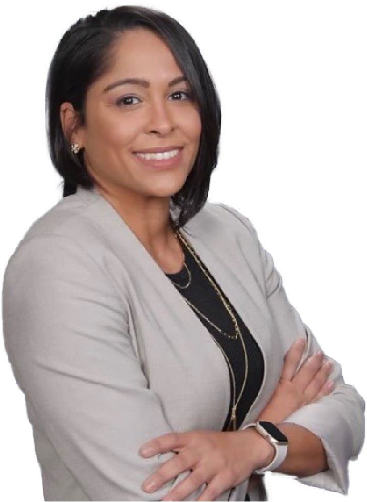
Dr. Mayra Oyola
Central Bureau Deputy Director and Governing Board Executive Secretary, International GNSS Service (@igsorg)
Scientist, Ionospheric and Atmospheric Remote Sensing group, NASA Jet Propulsion Laboratory
Pasadena, California, USA
“From providing precise positioning to improving our understanding on weather and climate, GNSS is a platform for transdisciplinary research that promotes collaboration between different disciplines. In order to fully exploit GNSS for solving the complex problems that currently occur in society, we need to continue to tap on a broader spectrum of people with different backgrounds, experiences and different ways to see the world (and the Universe!)”
Dr. Mayra Oyola-Merced is currently an Atmospheric and Ionospheric Scientist at the NASA Jet Propulsion Laboratory (JPL) in Pasadena, CA, working on radio occultation satellite missions for atmospheric characterization and Climate monitoring. She also serves as the Deputy Director of the International GNSS Service Central Bureau (IGS, where GNSS stands for Global Navigation Space Systems) which is sponsored by NASA, where she co-leads all IGS administrative/logistic functions and technical community interactions of over 200 stakeholder organizations, as they produce the highest quality, open and freely available GNSS data and products. She is a representative to the International Association of Geodesy Inter-Commission Committee on Climate Research, a representative to the World Data System, and a member of the United States Delegation for the International Committee on GNSS in the United Nations. She is also a member of many inclusion and outreach groups, to include the American Meteorological Society Board on Representation, Accessibility, Inclusion, and Diversity, a member of the Associate Board of Directors of the Earth Science Women Network, and a participant of the “NASA en Español” program.
Before joining NASA-JPL, Oyola-Merced spent significant efforts in improving aerosol characterization in computational weather models. As such, Oyola’s graduate level research focused on both field and computational research, most notably, spending over 200 days at sea on NOAA vessels and becoming a visiting scientist at both the NOAA Environmental Modeling Center and SUNY-Albany. Oyola continued her career as a Postdoc in the U.S Naval Research Laboratory, where she worked on satellite data assimilation for Numerical Weather Prediction and atmospheric correction for directed energy applications.
ASSOCIATE MEMBERS:
Would you or your organization like to be featured in next year’s IWD celebration?
Please contact the Central Bureau to learn more.
Last Updated on 17 Jul 2023 19:27 UTC

