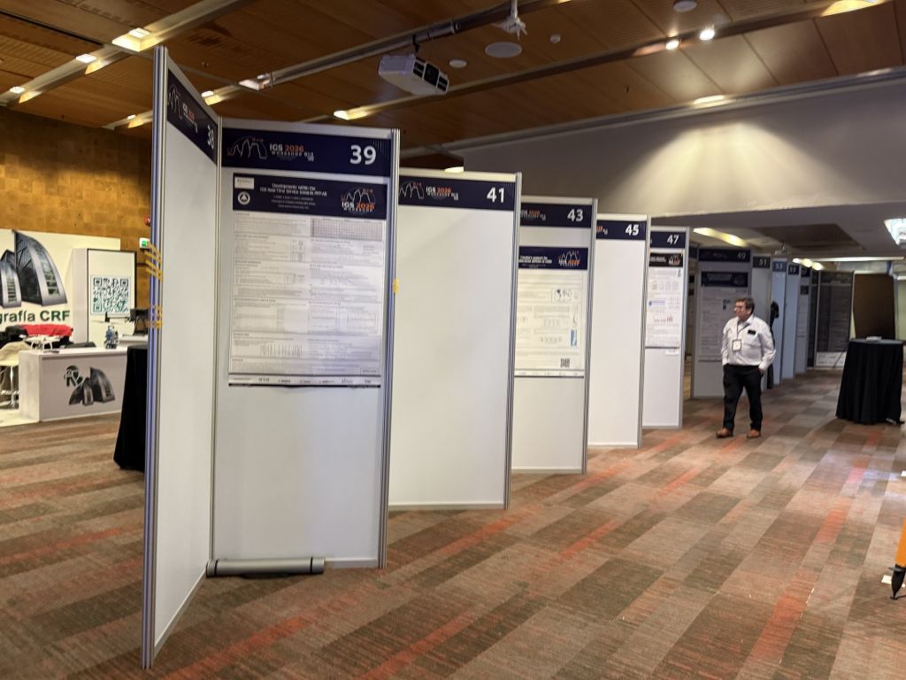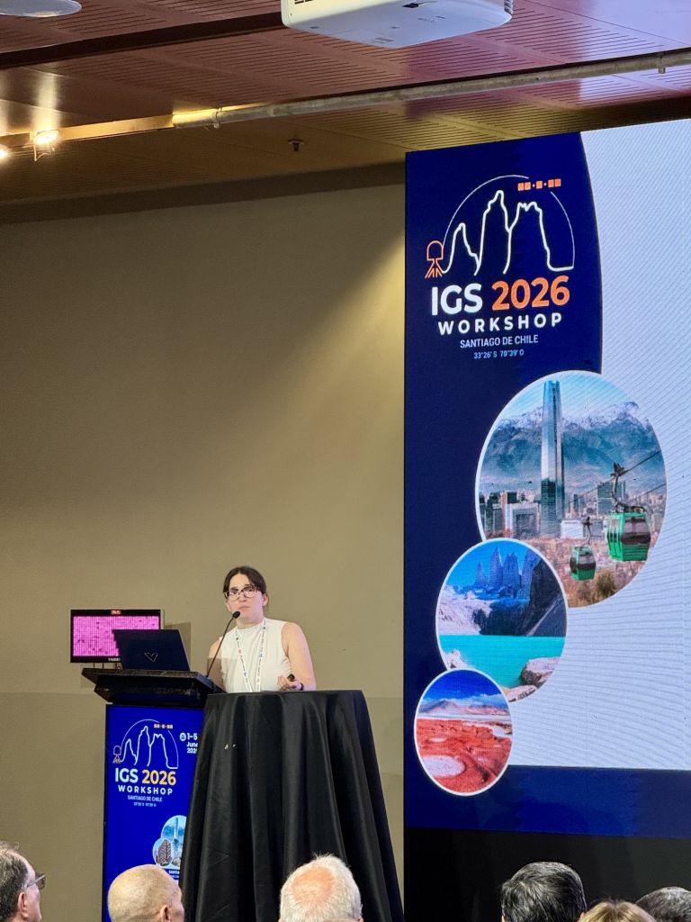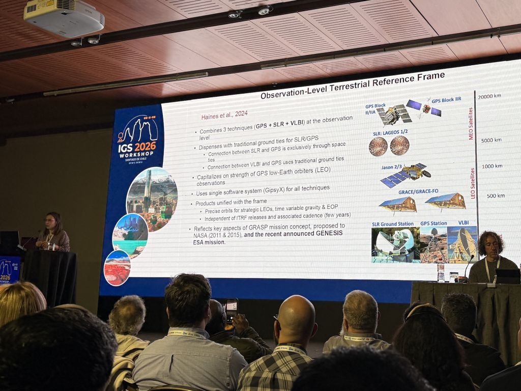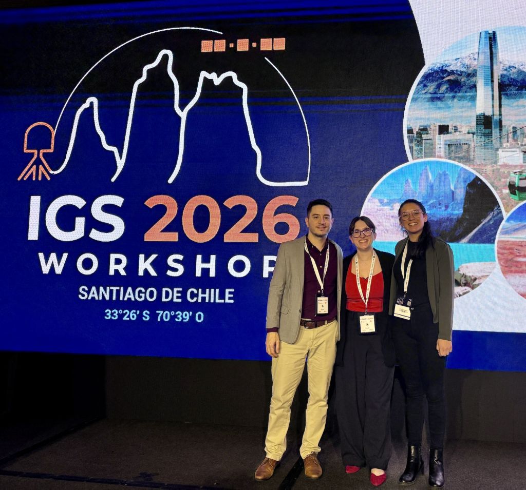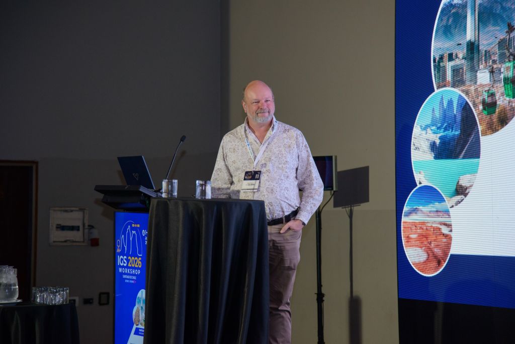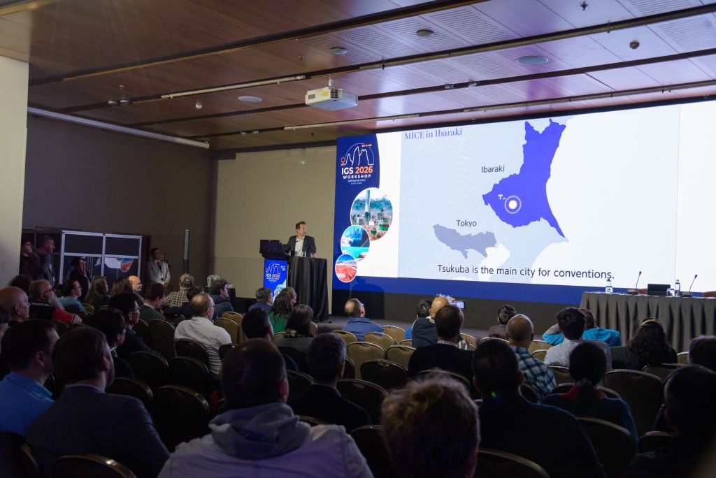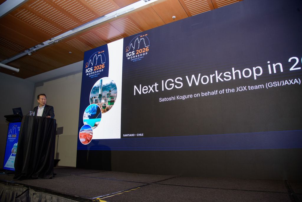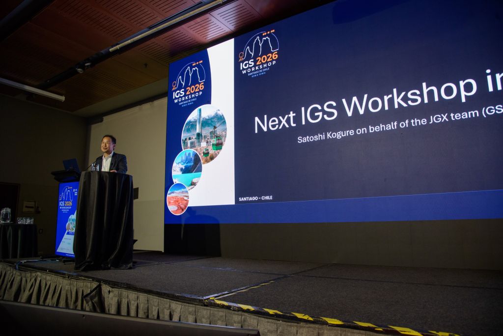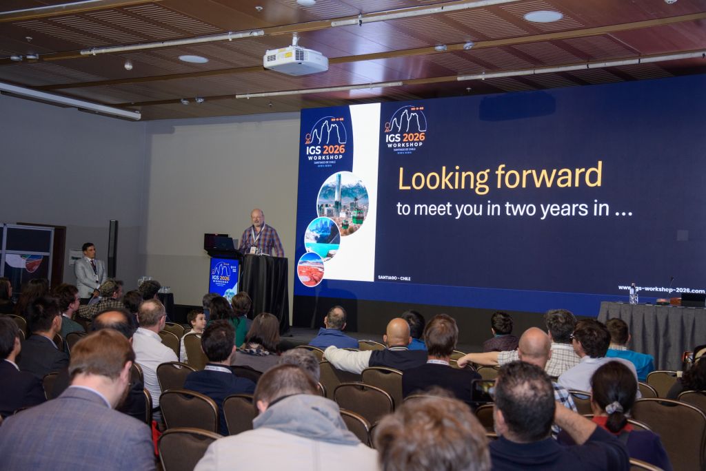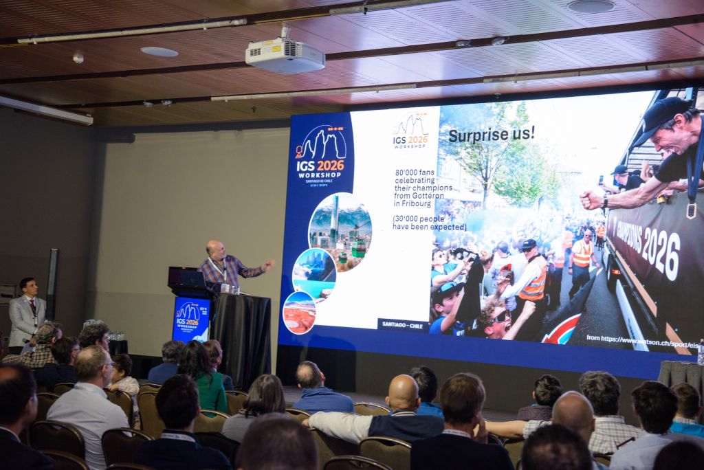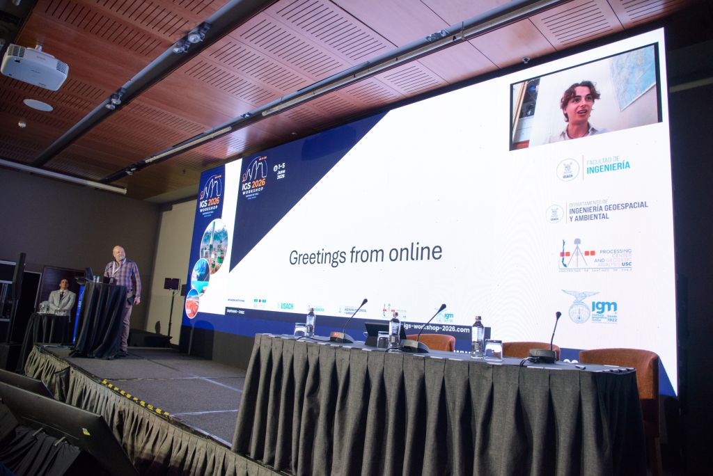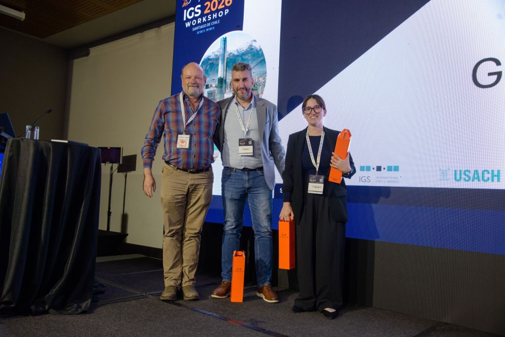

IGS 2026 Workshop
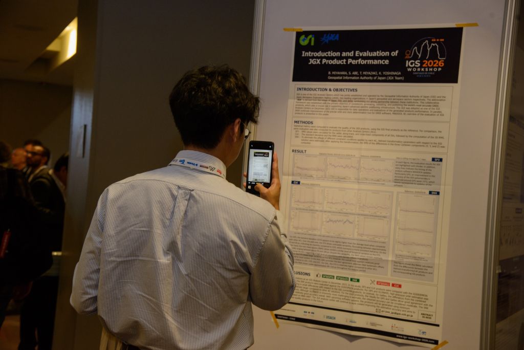
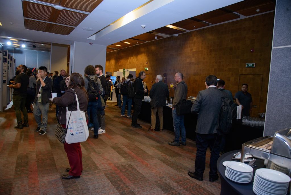
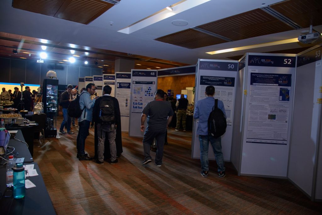
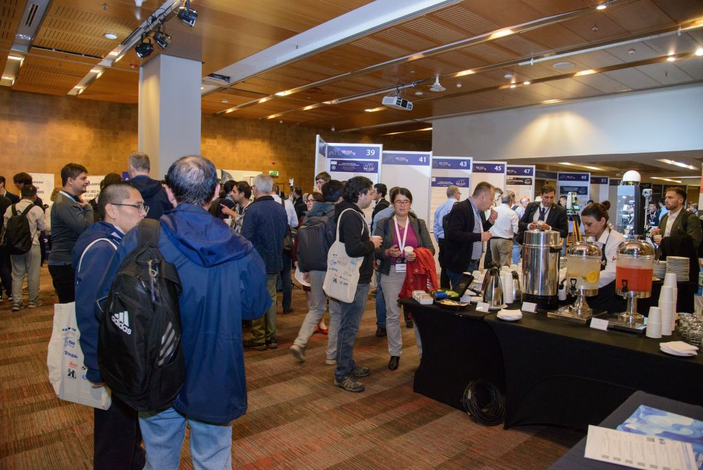
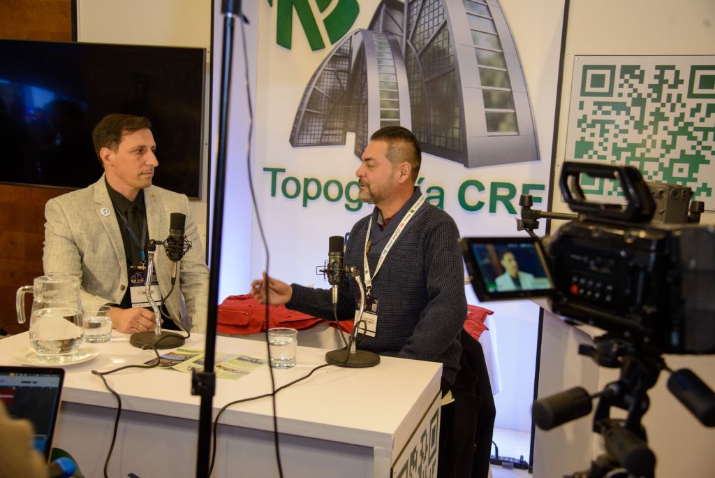
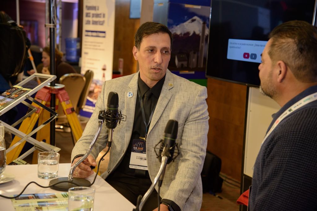
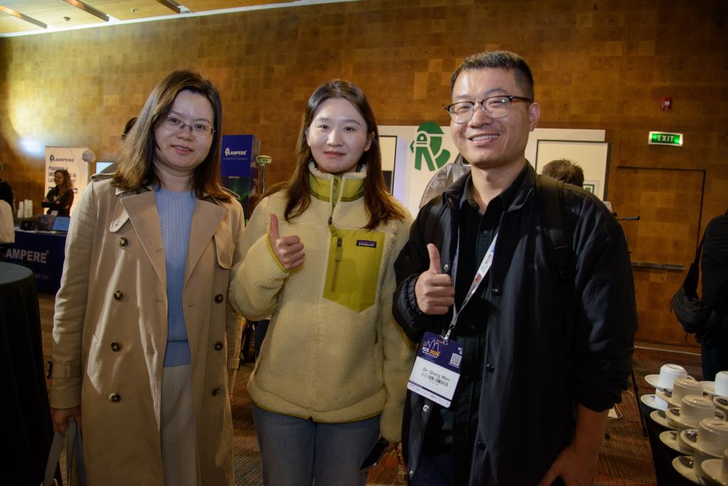
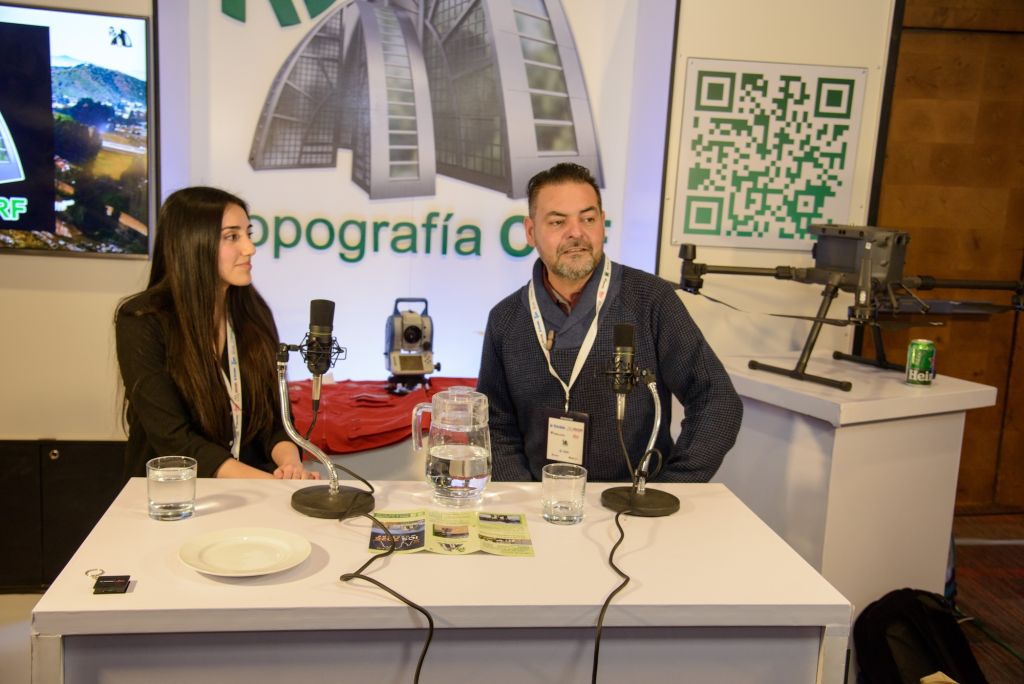
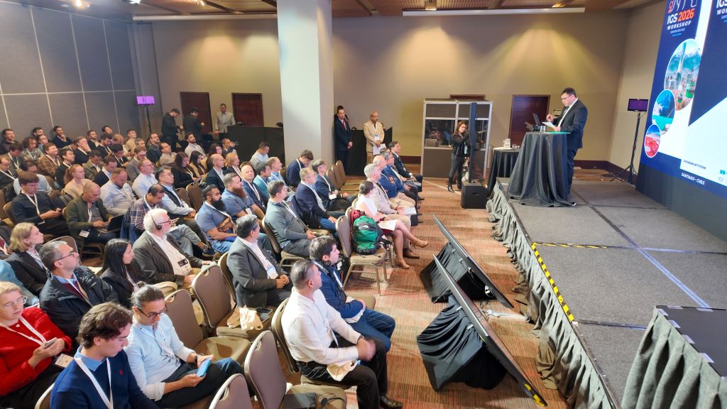
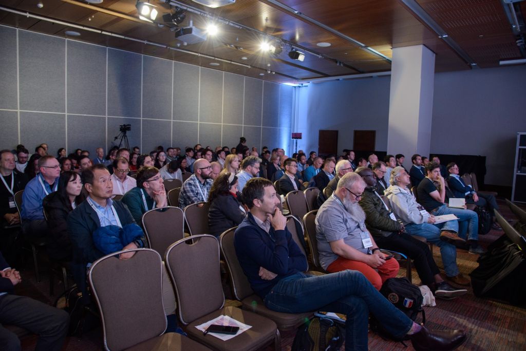
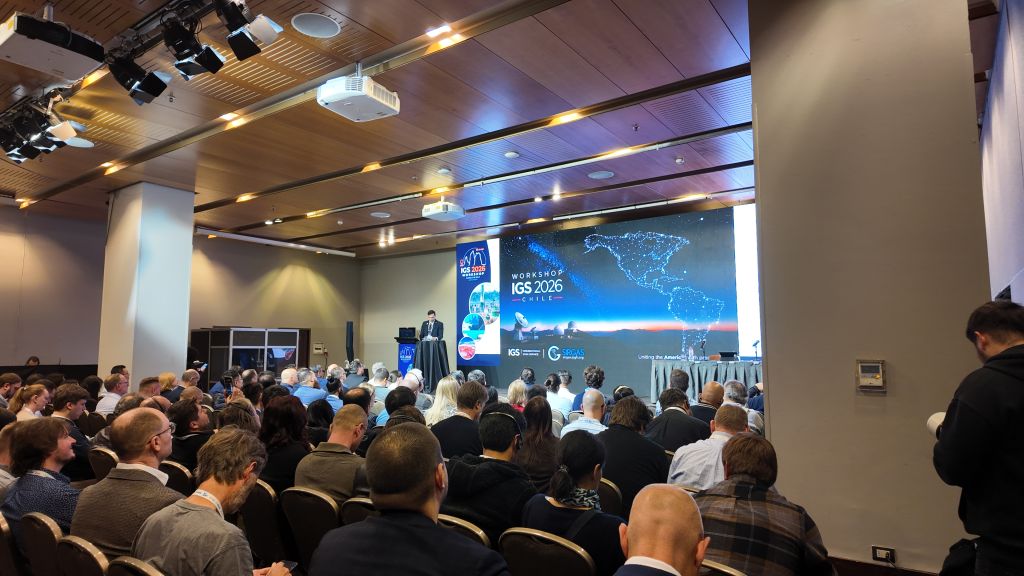
Chile – where the crust trembles daily and even a traditional cocktail is nicknamed the “Earthquake” – became the epicenter of an unprecedented scientific gathering in South America.
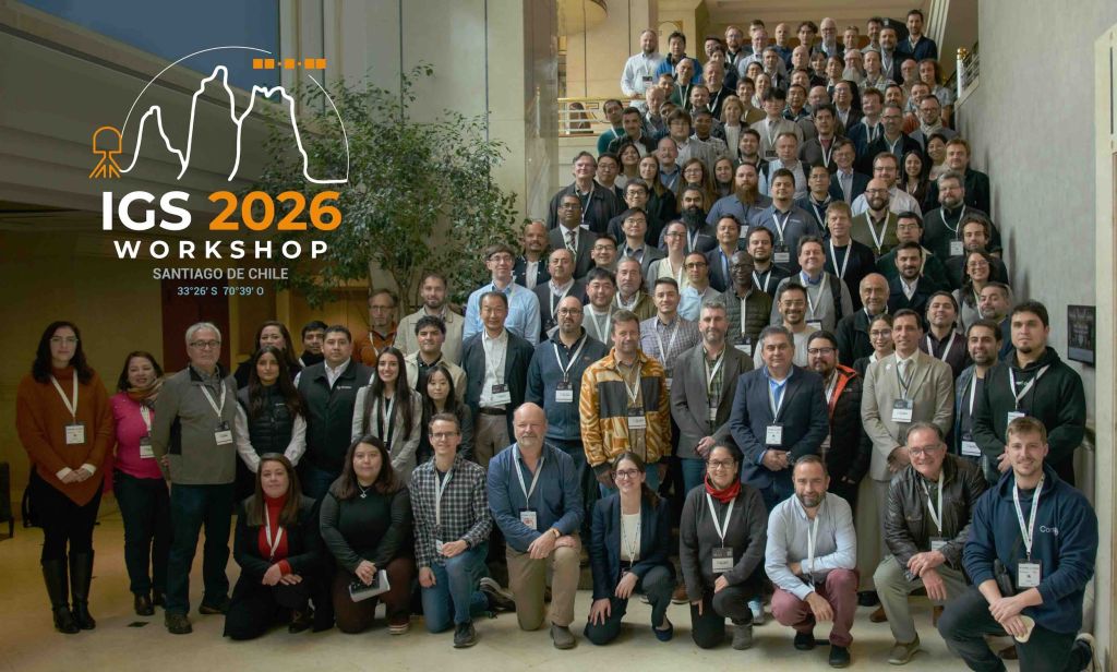
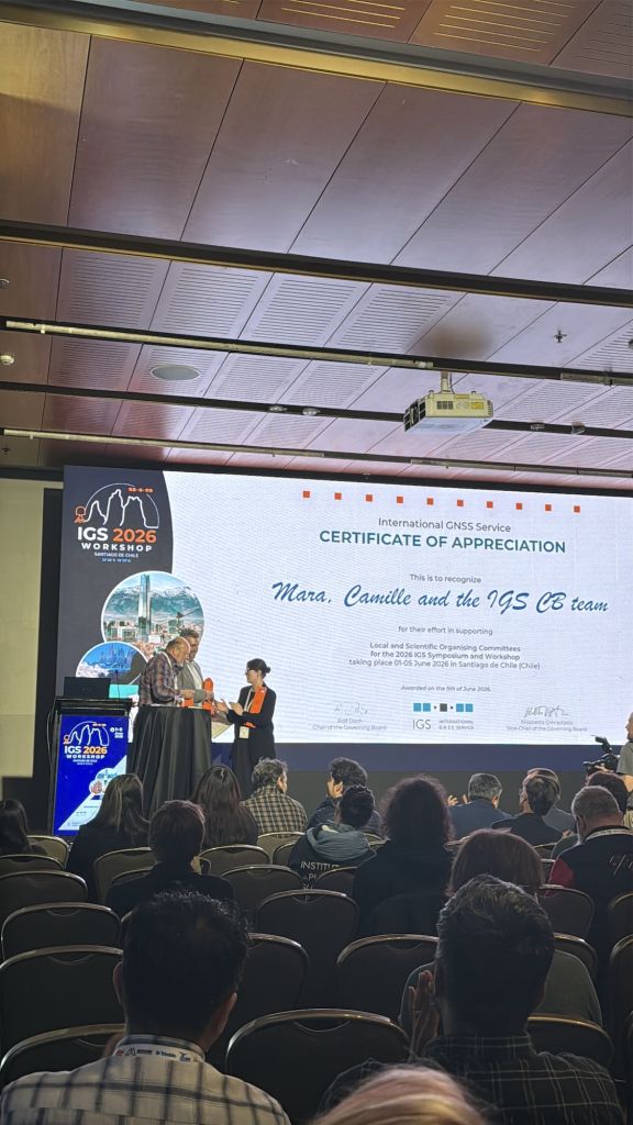
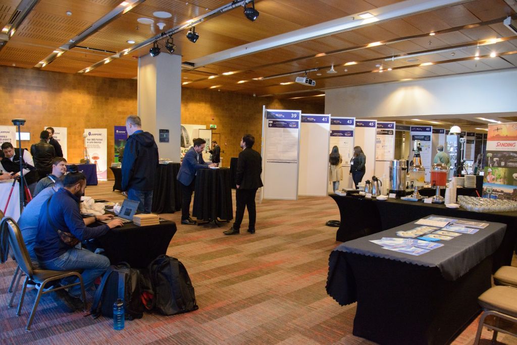
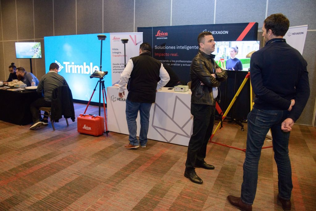
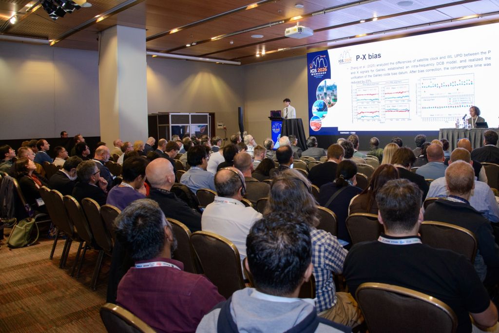
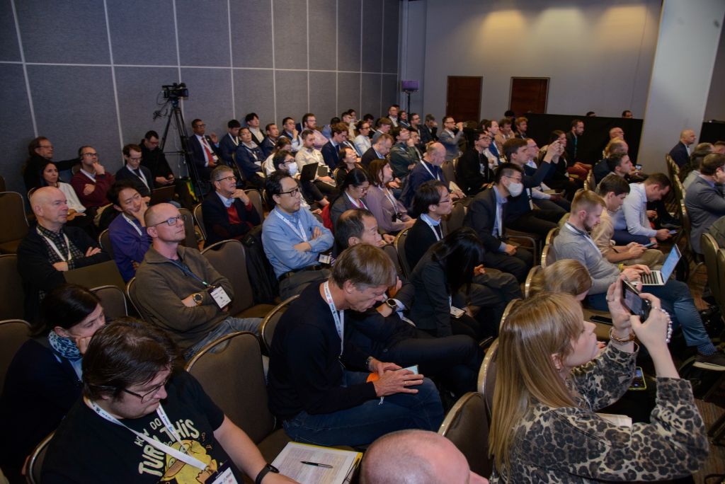
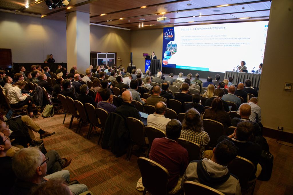
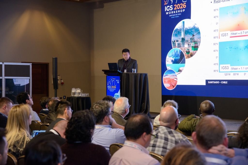
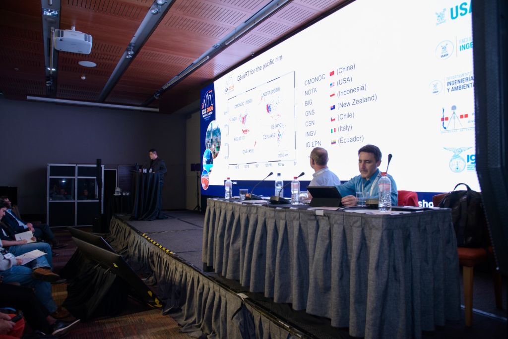
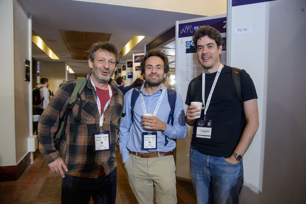
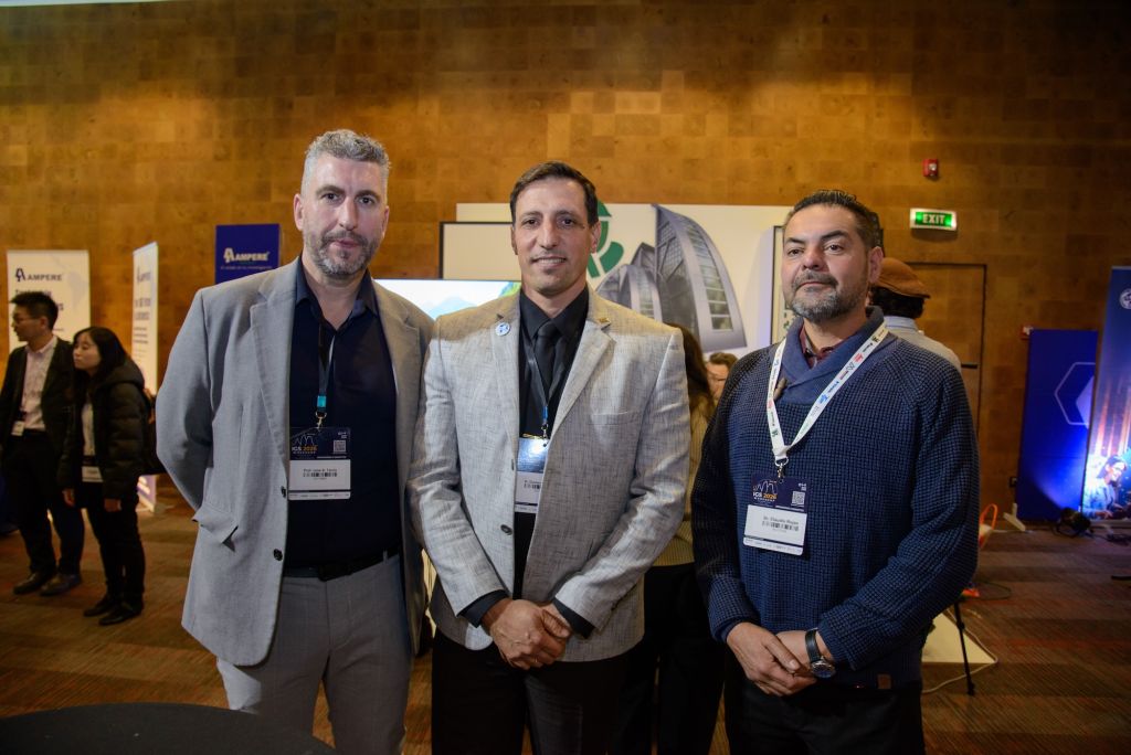
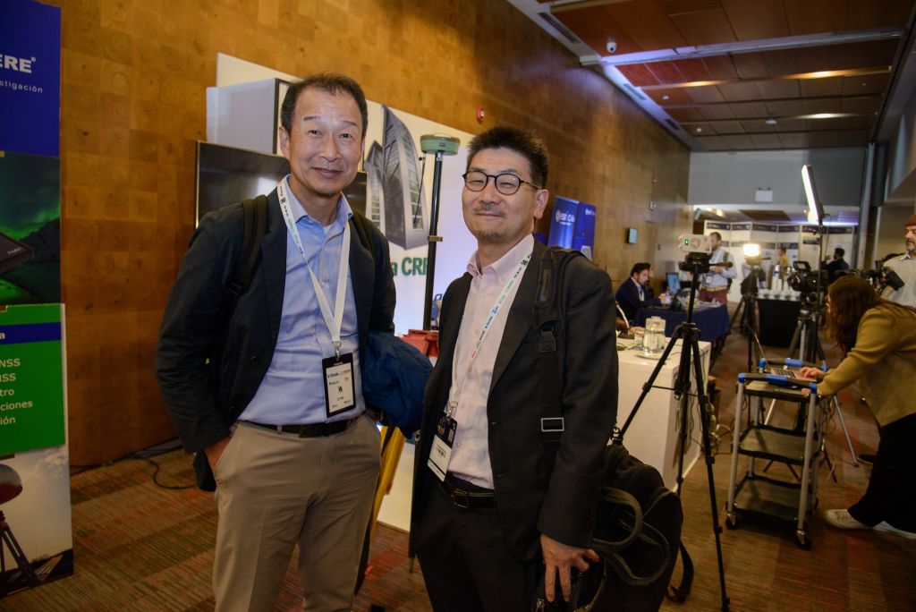
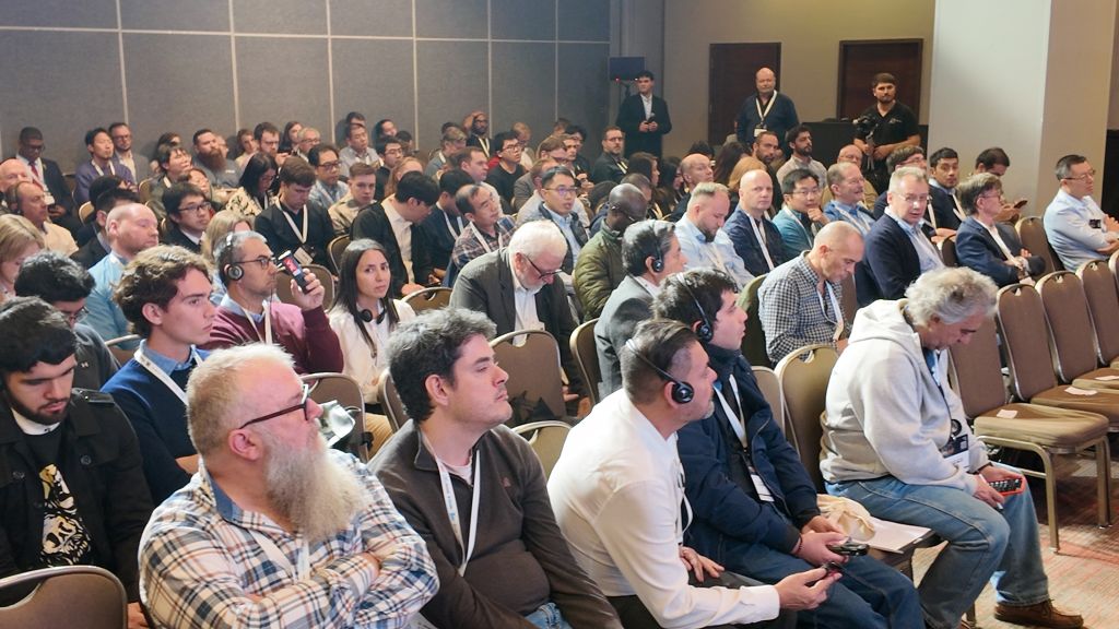
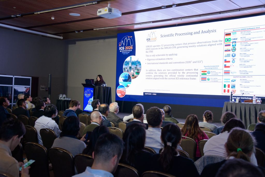
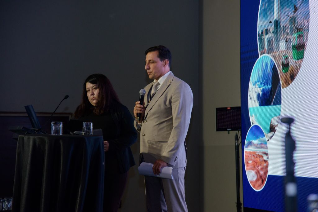
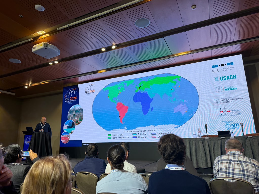
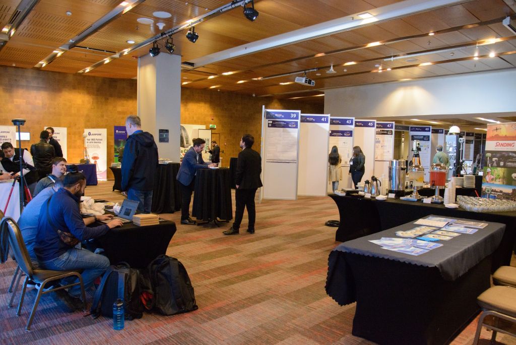
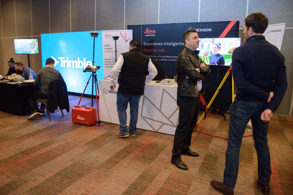
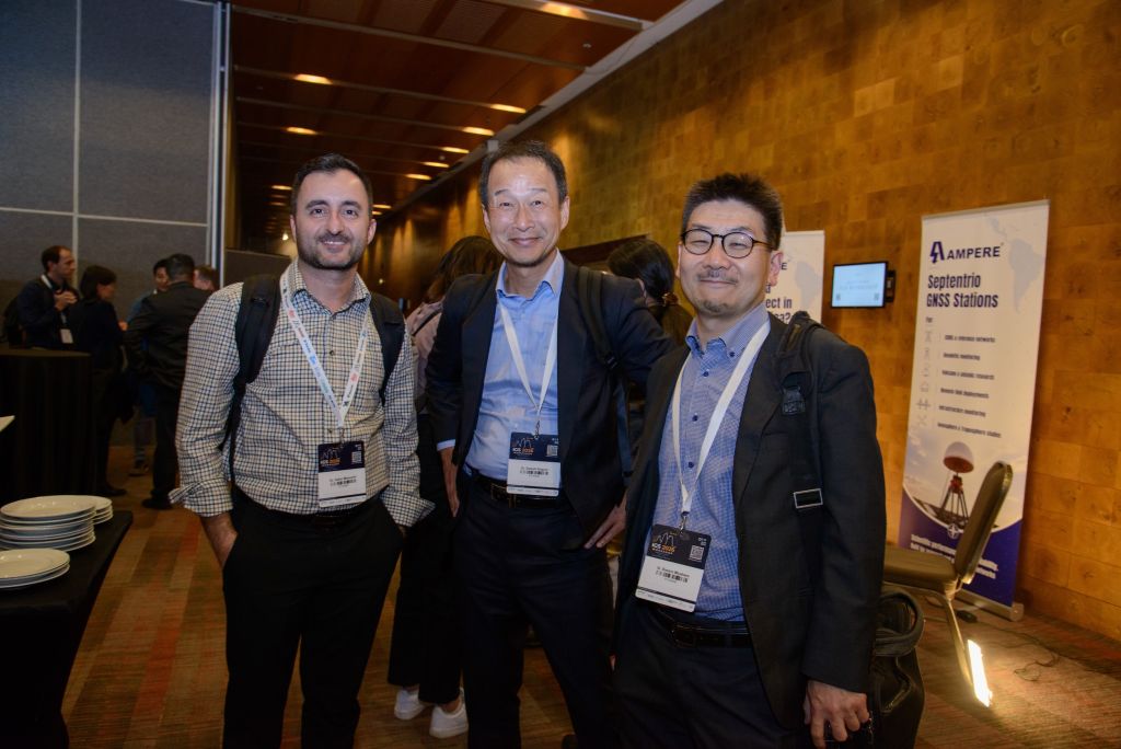
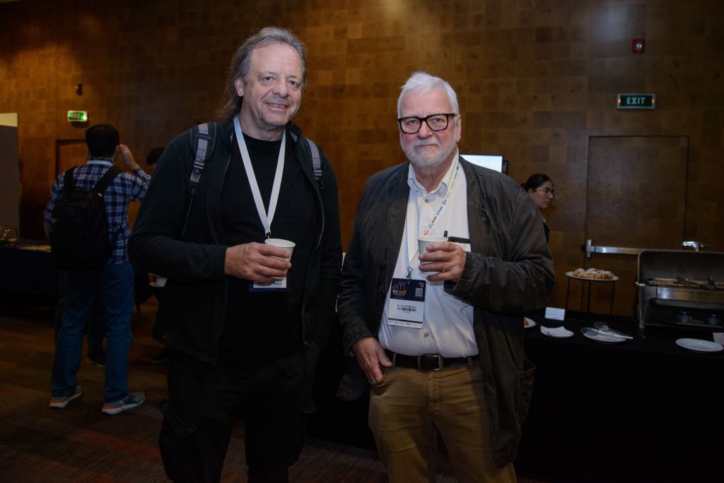
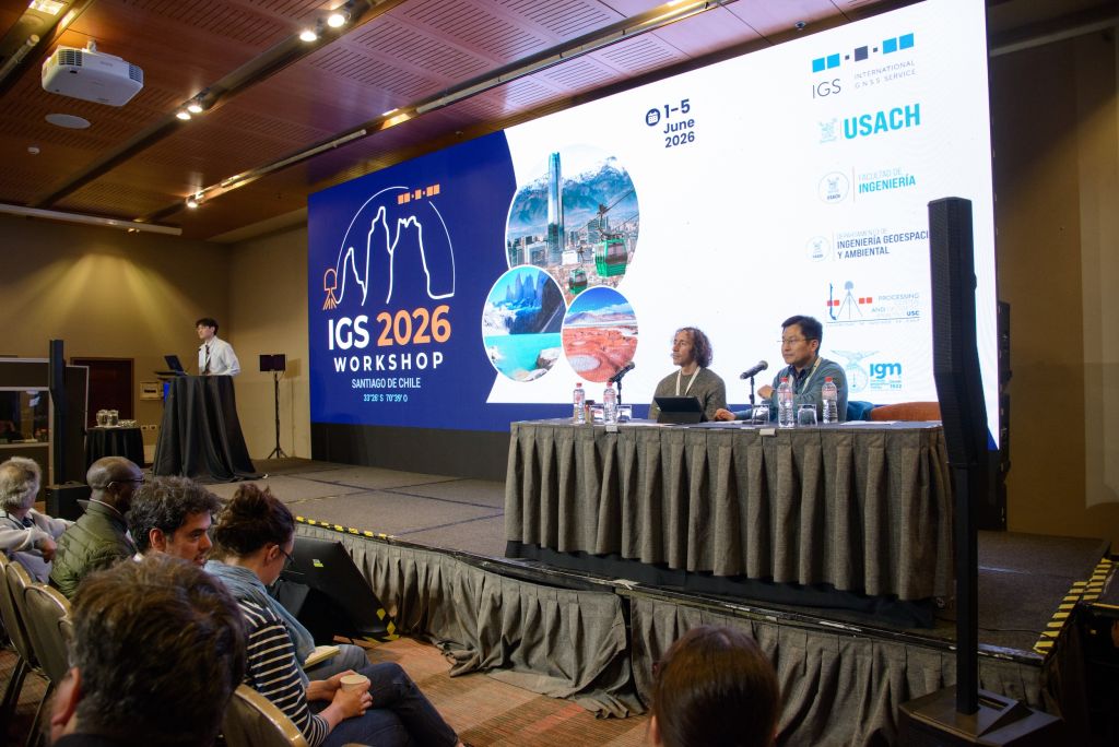
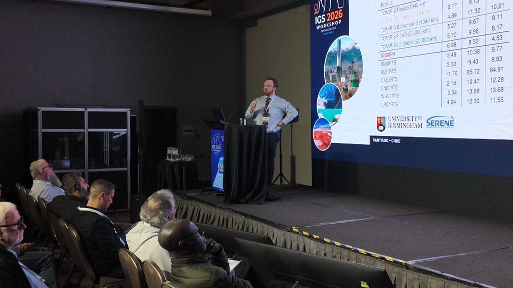
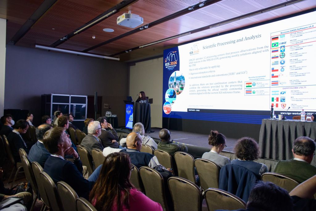
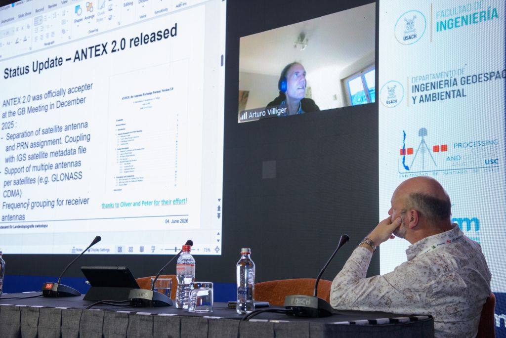
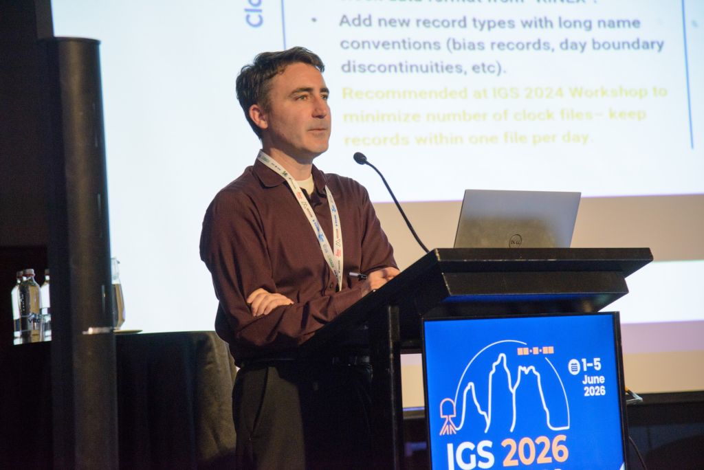
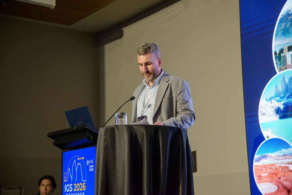
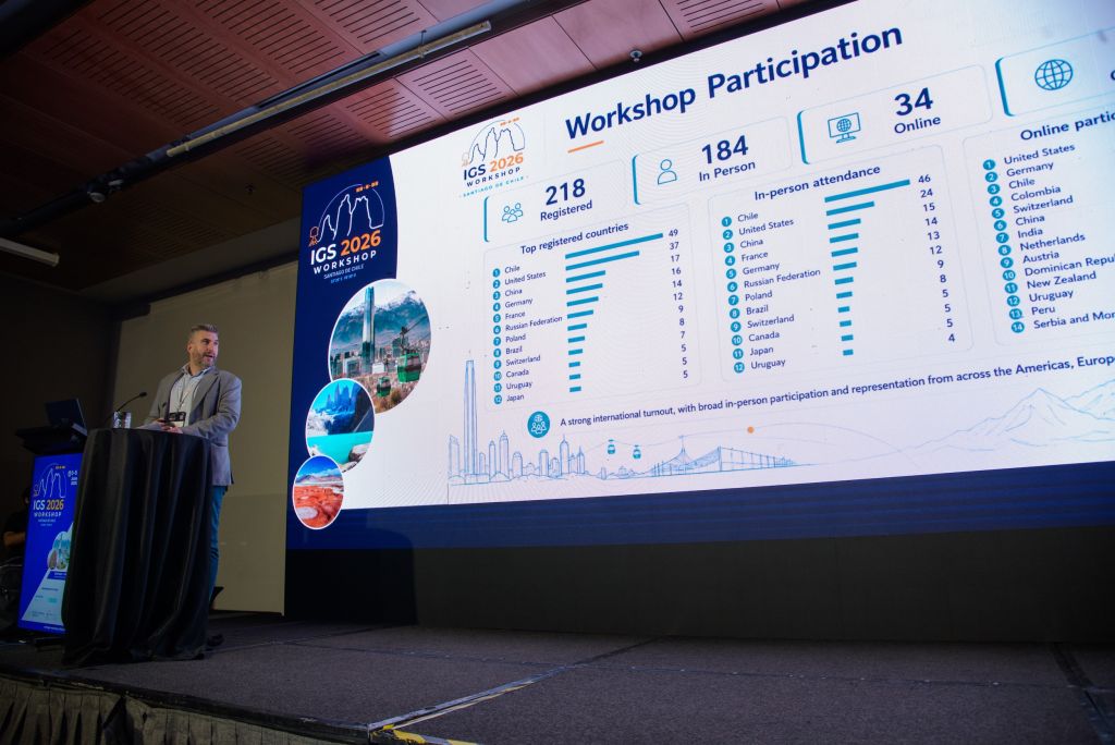
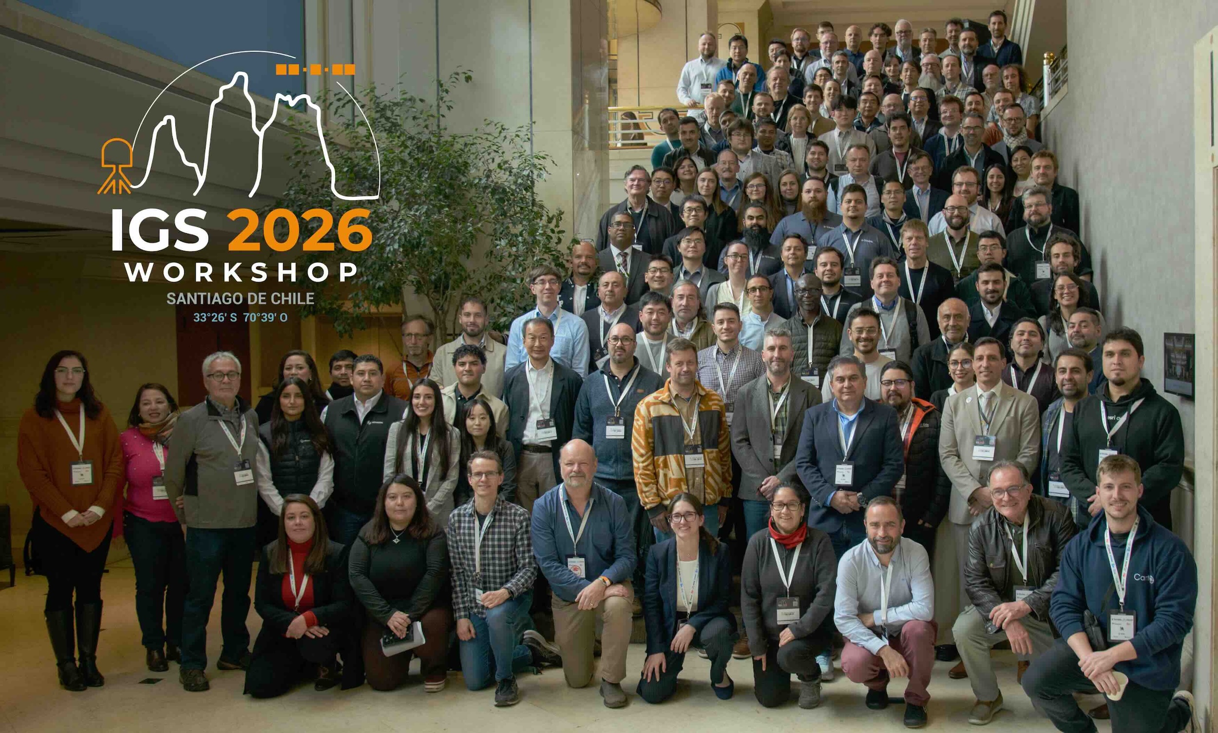
From 1 to 5 June 2026, the IGS Workshop 2026 brought the GNSS and geodesy community to Santiago (Chile).
Organized by the University of Santiago de Chile (USACH) with the Military Geographic Institute (IGM), the workshop showcased the latest breakthroughs of the International GNSS Service (IGS).
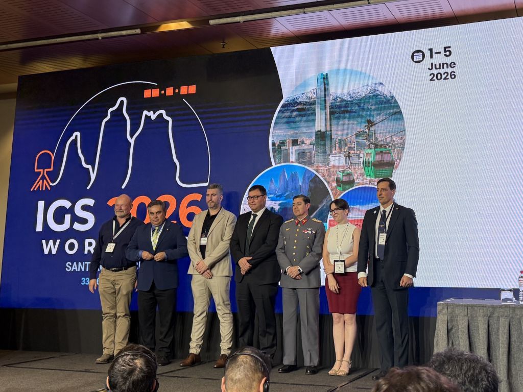
| Welcoming Remarks | ||
|---|---|---|
| Dr. Mohammad Ayaz Alam | General Remarks |
 |
| Dr. Carlos Yévenes ORTEGA | Vice-Rector, University of Santiago de Chile |
|
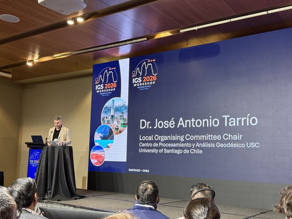
| Dr. José Antonio TARRÍO | Local Organising Committee Chair, University of Santiago de Chile |
|
| Col. Pedro Castillo FIGUEROA | Director, Military Geographic Institute of Chile |
|
| Col. Gustavo CAUBARRÈRE | Scientific Organising Committee Chair, SIRGAS President, Military Geographic Institude of Uruguay |
|
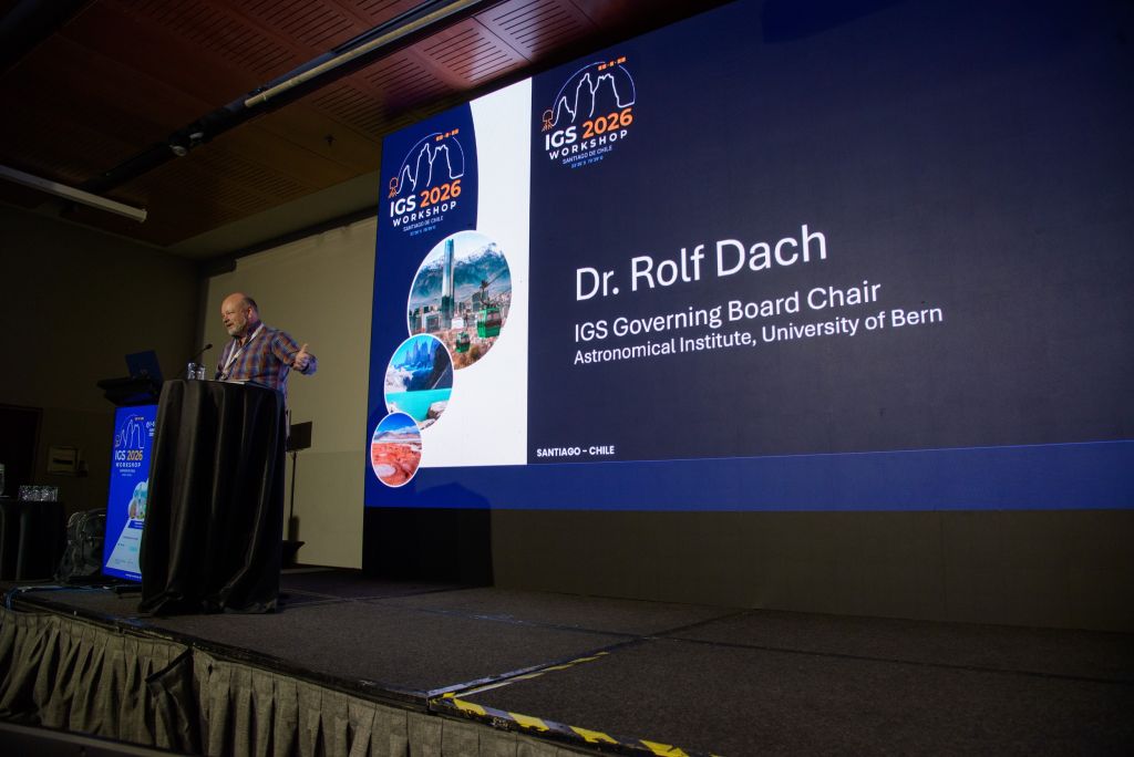
| Dr. Rolf DACH | IGS Governing Board Chair |
|
| Keynote Speakers | ||
|---|---|---|
| Dr. Sean DOUGHERTY | ALMA: In Search of Our Cosmic Origins |
|
| Dr. Gustavo MANSUR | Resilient High-Precision Positioning: From Mitigating Signal Interference to Modeling Complex Crustal Deformation |
|
| General de Brigada Aérea Christian STUARDO | National Space Program: A Roadmap for Autonomous Technological Development |
|
| Dr. Catalina CÁCERES | IGS and SIRGAS: 30+ Years of GNSS Geodesy in the Americas |
|
| Capitán de Navio Carlos ZUÑIGA | Chile’s National Tsunami Warning System |
|
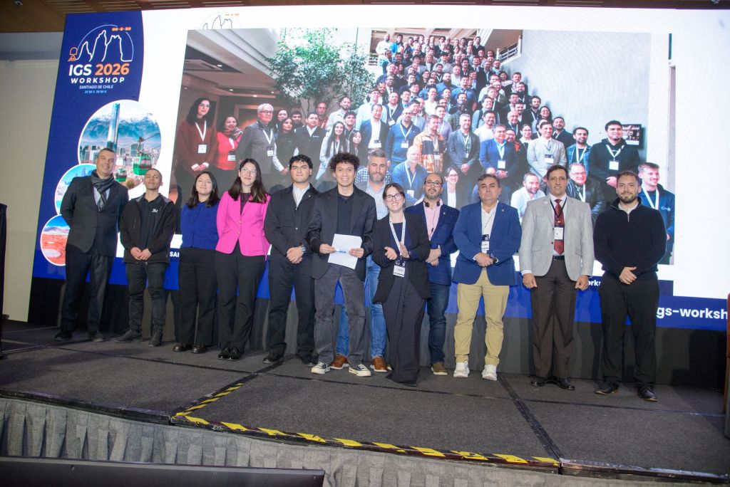
| Closing Remarks | ||
|---|---|---|
| Mr. Claudio Rodrigo Herrera JARPA | Vice Rector, University of Santiago de Chile |
|
| Dr. José Antonio TARRÍO | Local Organising Committee Chair, University of Santiago de Chile |
|
| Dr. Rolf DACH | IGS Governing Board Chair |
|
| Mr. Satoshi KOGURE | JGX collaborator (GSI/JAXA) |
|
| Session 1: GNSS Infrastructure and Data Integrity in a Multi-Constellation Era | |||
|---|---|---|---|
| Dr. Rui FERNANDES | Metadata Harmonization of GNSS Data Repositories |
|
|
| Dr. Oliver BOCK | The Critical Role of GNSS Metadata in Ensuring Homogeneous Time Series for Geophysical Applications |
|
|
| Prof. João Francisco Galera MONICO | The legacy of the INCT GNSS NavAer: historic, infrastructure, and data set |
|
|
| Dr. Satoshi KAWAMOTO | Modernizing Multi-GNSS data pre-processing tools: RINGO and RNXCMP Updates with RINEX 4.02 format compatibility |
|
|
| Dr. Mara FIGUEROA | GeoDE: the Geodesy Database Engine for GNSS Data Processing, Management, and Trajectory Analysis |
|
|
| Mr. Markus BRADKE | A Cloud-Native GNSS Data Lakehouse for Scalable Ingestion, Processing, and Analysis |
|
|
| Session 3: Real-Time GNSS Services and Next-Generation Positioning | |||
|---|---|---|---|
| Dr. Ningbo WANG | CAS real-time multi-GNSS clock and bias estimation: new product streams for precise point positioning with ambiguity resolution |
|
|
| Dr. Yize Zhang | Real-time multi-GNSS orbit and clock combination at SHAO |
|
|
| Mrs. Mónica Zabala HARO | SIRGAS Regional Experimental Caster: Architecture, Operation and Perspectives for Real-time GNSS Services |
|
|
| Dr. Lotfi MASSARWEH | Analysis of uncertainty information of real-time SSR corrections from a regional network and impact on PPP-AR |
|
|
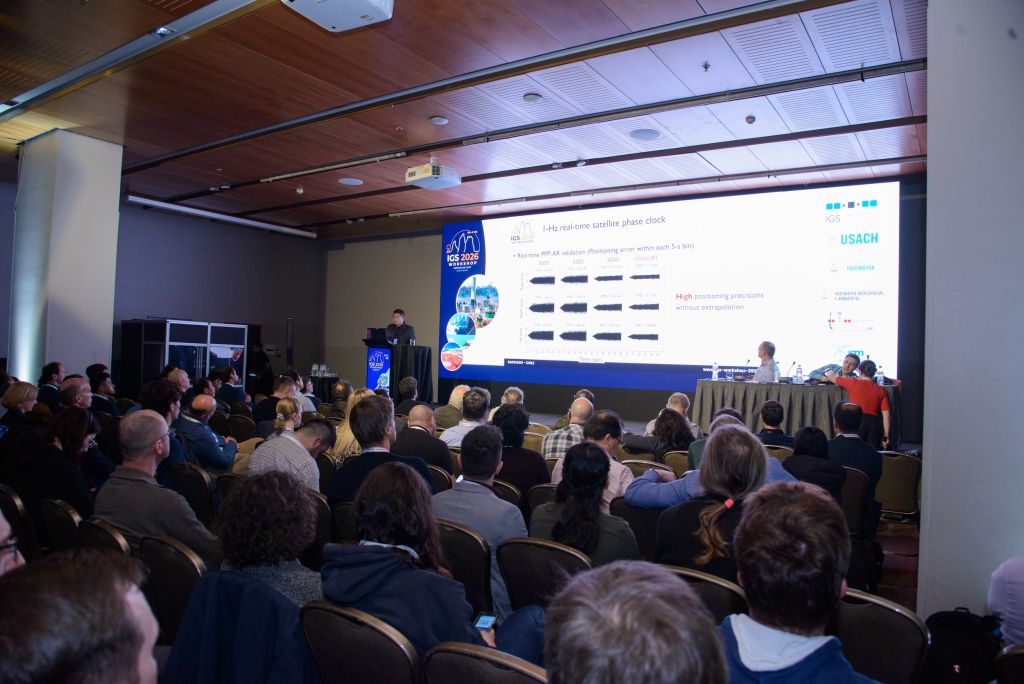
| Prof. Jianghui GENG | One-Hz real-time multi-GNSS satellite phase clocks for global rapid geohazard response |
|
|
| Dr. Lucie ROLLAND | Strengthening Pacific Tsunami Early Warning through GNSS: Insigts from Kamchatka 2025 event and the GeTEWS Oceania Initiative |
|
|
| Session 5: GNSS for Socient: Geohazards, Climate Change, Sustainability and Beyond | |||
|---|---|---|---|
| Dr. Manuel BRAVO | GNSS-Based Detection of Ionospheric Disturbances Associated with Earthquakes, Tsunamis, and Volcanic Eruptions |
|
|
| Dr. Jacek PAZIEWSKI | Exploring the potential of smartphone GNSS and accelerometer observations for displacement monitoring |
|
|
| Ms. Priscila CAMELO | Altimetric and geometric performance assessment of GNSS RTK on an EDM calibration baseline |
|
|
| Mr. Mauricio LOYOLA | GNSS and GIS Integration for Climate Risk Projection in Central Chilean Basins |
|
|
| Mr. Jaime Alberto Soto REYES | GNSS Data Collection and Geospatial Analysis for Wildfire Management |
|
|
| Session 3: Real-Time GNSS Services and Next-Generation Positioning | |||
|---|---|---|---|
| Ms. Andrea STÜRZE | Developments within the IGS-Real-Time Services towards PPP-AR | ||
| Mr. Elyes HASSEN | From IGS Products to User Solutions: Canada’s CSRS-PPP Service | ||
| PhD. Felipe Carvajal Rodriguez | Trimble’s support for modernized datums in Chile, validated through GNSS Precise Point Positioning | ||
| Miss Beata MILANOWSKA | Exploring the current accuracy of the multi-GNSS SPP solution for mass-market applications | ||
| Dr. Pavel VACLAVOVIC | Assessment of the Galileo High Accuracy Service in real time based on observed data | ||
| Dr. Maria Fernanda CAMISAY | Experimental study of real time multi-constellation PPP, applied to SIRGAS GNSS stations in Uruguay | ||
| Mr. Jakub BIALAS | Multi-GNSS clock combination with refined clock alignment and code-phase bias integration for Precise Point Positioning | ||
| Session 4: GNSS as a Sensor of the Atmosphere and Space Weather | |||
|---|---|---|---|
| Dr. Guergana GUEROVA | GNSS severe weather monitoring in Southern Europe: progress and prospects | ||
| Dr. Katarzyna STEPNIAK | Assessment of tropospheric parameter estimation using the Centipede-RTK low-cost GNSS network in a mountainous area | ||
| Mrs. Jorge Francisco Hernández INOSTROZA | Snow accumulation and ablation patterns estimated using GNSS-IR in the Mocho-Choshuenco volcanic complex, Southen Andes | ||
| Dr. Maria Fernanda CAMISAY | Long-Term Analysis of SIRGAS ZTD Time Series for Early Anomaly Detection | ||
| Mr. Wilder Jaime Calderon MONTOYA | VTEC Forecasting Using Machine Learning Under Varying Geospace Conditions | ||
| Mr. Ivan KHRIPUNOV | Real-time local ionospheric model based on double-differenced phase-derived STEC observations | ||
| Prof João Francisco Galera MONICO | Strategies to counter scintillation in challenging GNSS PPK operational scenarios | ||
| Dr. Adam FROŃ | A flexible combination strategy for IGS Global Ionospheric Maps using DORIS observations | ||
| Prof. Jens WICKERT | GNSS Remote Sensing: Recent activities and novel developments at GFZ | ||