IGS 2021+
Strategic Plan
This Strategic Plan, built upon the feedback of many IGS community members, outlines key points of the IGS goals and the anticipated path to meet its objectives in 2021 and beyond.

IGS At A Glance
The International GNSS Service (IGS, where GNSS stands for Global Navigation Satellite Systems) is the world’s largest GNSS organization, with an over twenty five years of history of advocating for and providing freely and openly available high precision GNSS data and products.
As of early 2021, the IGS consists of over 300 Associate Members (AM), representing over 45 countries/regions and over 200 contributing organizations. The 36-member IGS Governing Board guides the coordination of over 142 contributing organizations participating within IGS, including 108 operators of GNSS network tracking stations, 6 global Data Centers, 13 Analysis Centers, and 4 product coordinators, 21 Associate Analysis Centers, 23 regional/ project Data Centers, 14 technical Working Groups, two active pilot projects (i.e., Multi-GNSS and Real-time), and the Central Bureau.
IGS is a voluntary federation of self-funded agencies, universities, and research institutions all over the world, working together to provide the highest precision GNSS satellite orbits in the world. Access to very high precision products is provided freely and openly for scientific advancement and public benefit. IGS data and analysis products support a wide variety of applications that touch millions of users in virtually all segments of the global economy.
IGS products support access to and realization of the International Terrestrial Reference Frame, providing support for geodetic research and scholarly applications. Furthermore, IGS Working Groups and Pilot Projects work for the continuous development of new and improved applications and products. As a technical service of the International Association of Geodesy, IGS functions as a component of the IAG Global Geodetic Observing System (GGOS) and a network member of the International Science Council’s World Data System.
VIEW THE FULL
IGS 2021+ Strategic Plan
IGS Goals
Serving the community with facilitation, coordination, incubation, and advocacy in three strategic goals
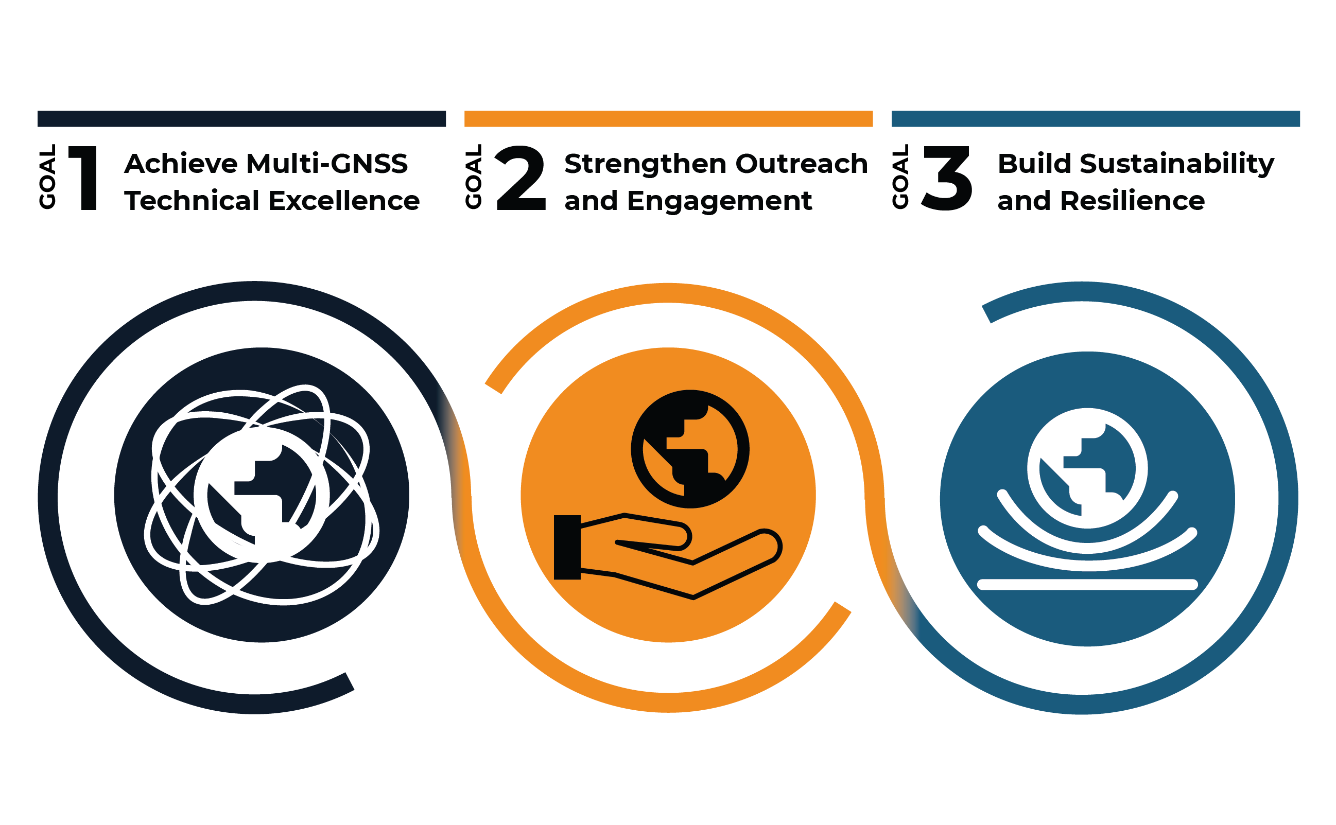

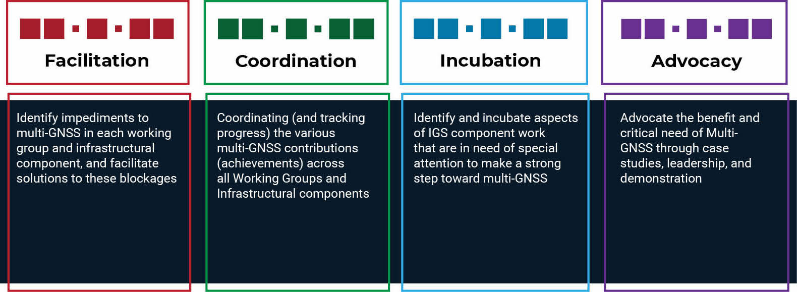
Achieve Multi-GNSS Technical Excellence
Increase organizational capability by identifying barriers to multi-GNSS success throughout the IGS, supporting solutions to key challenges, and reinforcing the importance of continuous technical evolution.

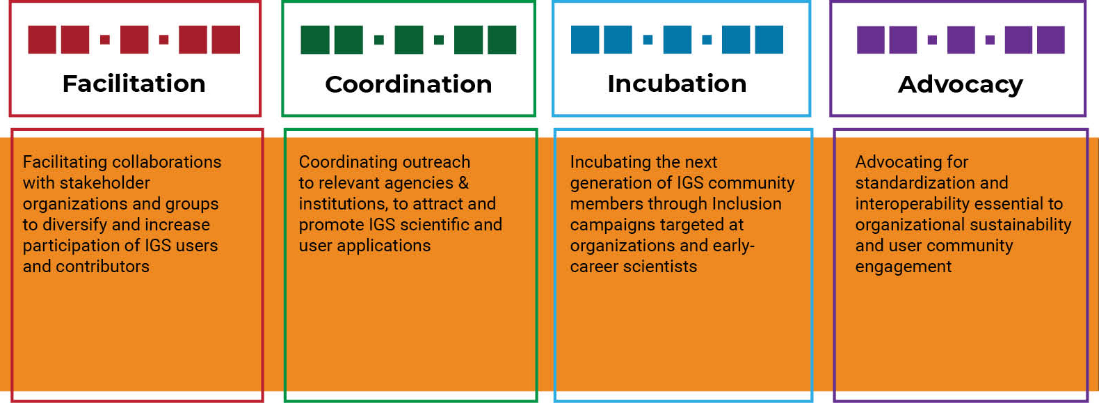
Strengthen Outreach and Engagement
Advocate for open access geodetic and GNSS data and products that facilitate collaborations, standardization, and inclusivity.
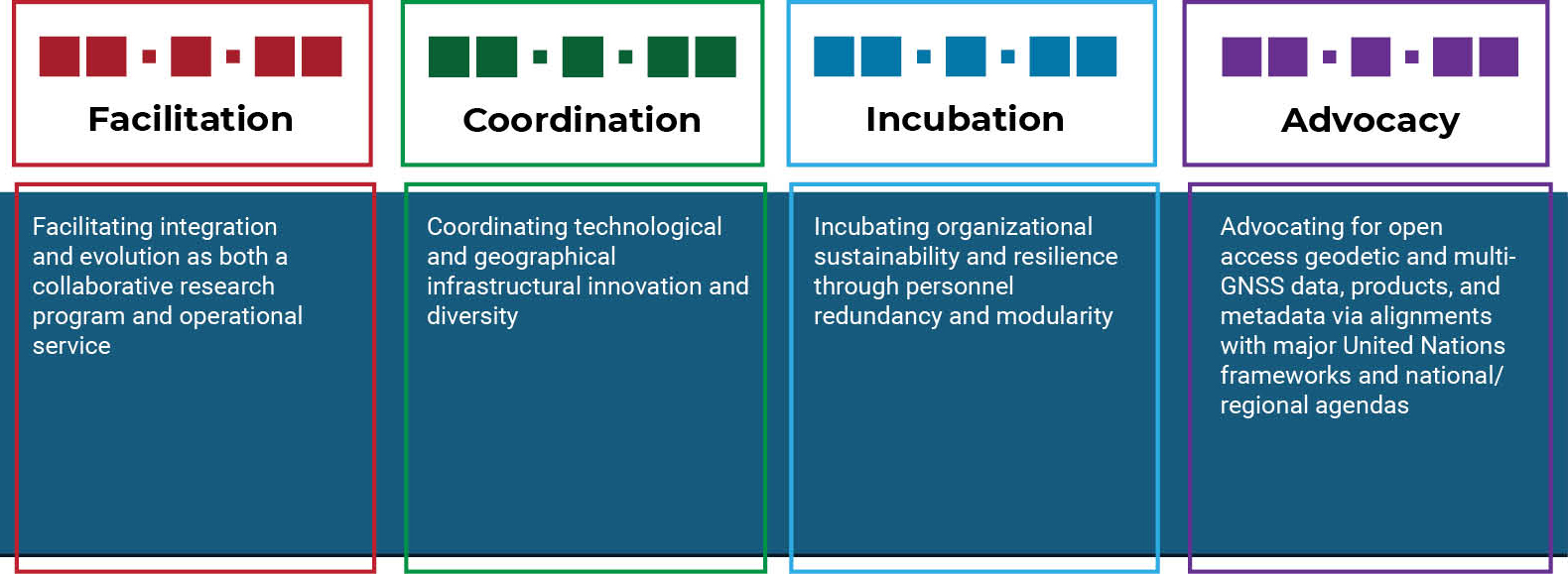
Build Sustainability and Resilience
Foster a resilient, sustainable, and effective organization to support an expanding and evolving IGS community.
